
Industry Solutions

Drone Photogrammetry for Land Surveying and Mapping

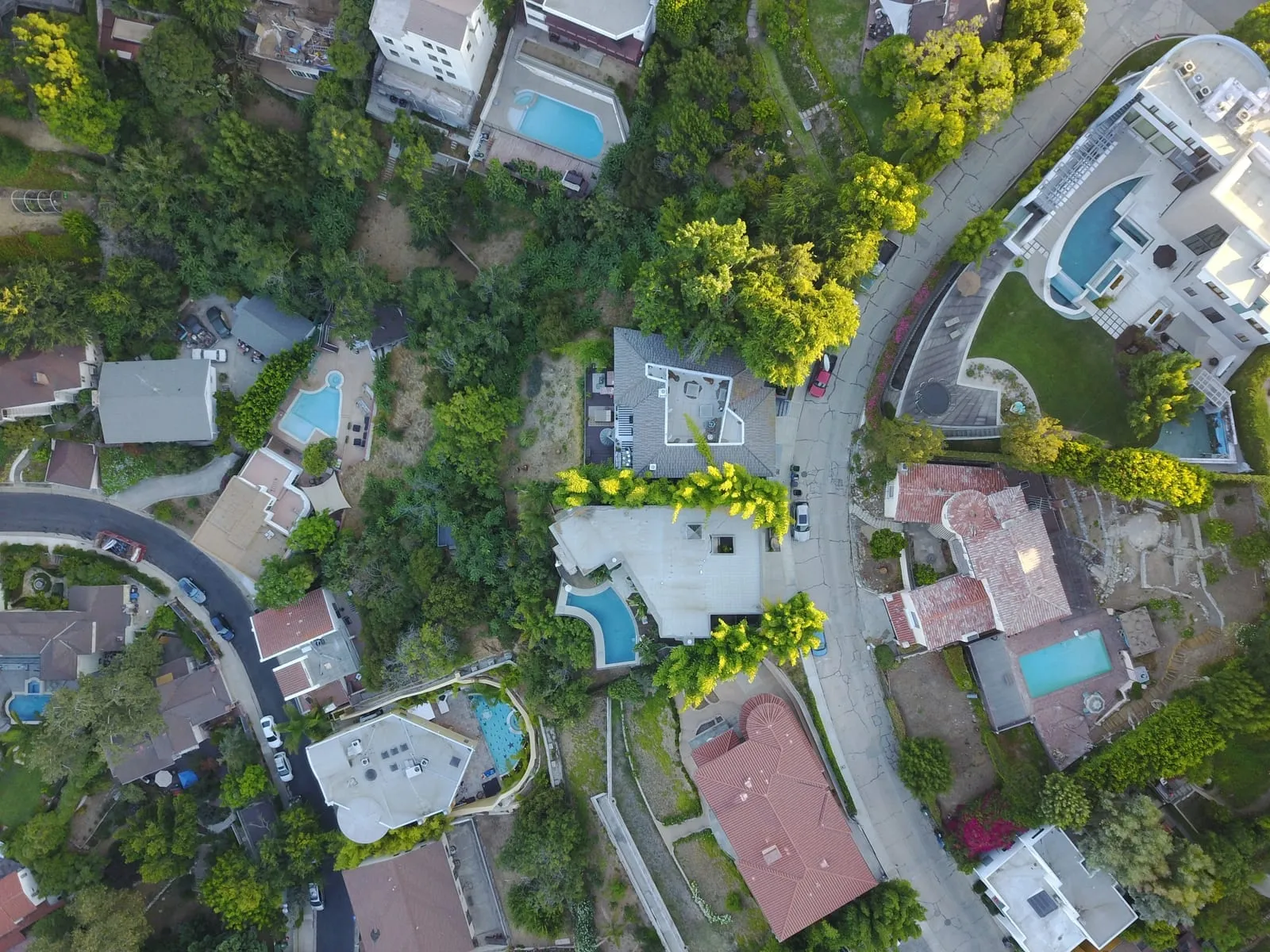
Drone land surveying allows professionals to complete projects within a shorter time frame. Using modern land measurement tools such as RTK-enabled UAVs, survey-grade GNSS systems, and advanced imaging sensors, we provide centimeter-level accuracy while significantly reducing operational costs. Photogrammetry drone surveying and mapping requires technological equipment to monitor large areas of land and gather data. Our advanced drones for land surveying are equipped with high-precision land mapping tools and land measurement technology, ensuring detailed data capture with reduced manpower and faster project turnaround.

Do more with less using advanced drones for land surveying and mapping. A surveying and mapping drone provides its return on investment based on how efficiently it can survey large areas of land with a limited crew. By completing projects in record time, companies are open to exploring new revenue streams. Our UAV-based land mapping tools can cover hundreds of acres in a single flight, producing detailed orthomosaics and 3D models essential for planning, zoning, and infrastructure projects.

Why it works

Our uav solutions with drone photography equipment and RTK GPS create accurate 3D models and orthomosaic maps. This drone survey equipment reduces survey time by 70%, supporting cost-effective land mapping with CAD integration.

Applications

What teams accomplish in the field

Geology Applications with Drone Photogrammetry & Land Measurement Tools

Geologists apply precise drone data in order to quickly and effectively explore or monitor large sites for potential resources. There has never been a more cost-effective method of obtaining 3D topography and geological data than with drone photogrammetry for land surveying and mapping. These precision-focused land measurement tools help geologists quickly assess terrain changes, resource potential, and geological risks without extensive on-ground surveying.

Planimetric Mapping with Advanced Land Survey Tools

GIS professionals are leveraging the orthomosaic outputs generated from accurate aerial drone survey imagery in order to quickly document two dimensional locations of neighborhoods, road details, rivers, and lakes into data layers that can be used in analysis and cartographic outputs. By combining aerial imaging with advanced land mapping tools, planimetric surveys deliver unmatched accuracy for documenting infrastructure, natural features, and property layouts.

Cadastre Mapping with High-Accuracy Drone Survey Tools

Land offices and GIS experts are using drone data for cadastre applications in order to efficiently register properties, obtaining their extent for proper taxation. UAV technology can be applied to new projects or established developments that either need to be updated or have never been registered. Our UAV technology combined with land survey tools ensures property boundaries are mapped with precision, supporting legal documentation, taxation, and dispute resolution.

Recommended Tools

Robota solutions for this industry

RoboDot Touch RTK GNSS

Survey-grade base, rover, and smart ground control point for centimeter-accurate positioning in any workflow.

Metashape Pro

Professional photogrammetry software that turns drone imagery into orthomosaics, point clouds, and 3D terrain models.

Dot3D

Real-time 3D scanning software for capturing as-built conditions with handheld devices and depth sensors.

FAQ

Common questions

Can drones be used to survey land?

Yes, drones are increasingly used to survey land with high precision and efficiency. Equipped with advanced sensors and GNSS modules, land survey drones like Robota’s Eclipse 2.0 can capture detailed aerial data, making them a powerful alternative to traditional ground-based surveying methods.

How are drones used for mapping and surveying?

Drones are flown over areas of interest to capture overlapping images and geospatial data. This data is then processed into 2D maps and 3D models using software. When equipped with the right sensors, drones for GIS mapping allow surveyors to collect accurate elevation, boundary, and terrain data for planning and analysis.

What is drone photogrammetry in land surveying?

Drone photogrammetry is the process of capturing multiple aerial photos and converting them into scaled maps or 3D models using georeferencing techniques. These images, captured by drones for land surveying, are processed to generate orthomosaics, digital surface models, and other high-precision mapping outputs.

What are the benefits of using drones for land surveying?

Using drones reduces time, labor, and costs while increasing coverage, data quantity, and accuracy compared to traditional surveying. As modern land survey tools, they streamline workflows by automating image capture, enabling real-time monitoring, and reducing the need for manual ground measurements.

How do drones improve land surveying and mapping?

Drones enhance surveying by providing faster data acquisition, safer access to hazardous sites, and highly accurate visuals. These land mapping tools also simplify topographic analysis and boundary definition across large or complex areas.

How accurate is drone mapping compared to traditional methods?

With RTK-enabled drones and proper ground control, drone mapping can achieve centimeter-level accuracy, on par with or better than traditional total stations. Drones are a reliable land measurement tool for generating geospatial data that meets professional-grade survey standards.

What is a topographic drone survey?

A topographic drone survey involves flying a drone over terrain to collect elevation data and produce contour maps or 3D terrain models. Land survey drones like those offered by Robota are ideal for such missions, offering accuracy, repeatability, and reduced field time.

What is the role of GNSS systems in land surveying?

GNSS systems provide real-time positioning and correction data essential for georeferencing images and improving accuracy. Paired with drones, GNSS-based land survey tools like Robota’s RoboDot Touch help ensure high-precision mapping even in challenging environments.

What is GIS and how is it used in land surveying?

GIS (Geographic Information Systems) is used in land surveying to analyze and visualize spatial data. By integrating GIS with drones for GIS mapping, professionals can perform land classification, boundary analysis, infrastructure planning, and environmental assessments more efficiently.

What is the importance of high-resolution aerial imagery in land surveying?

High-resolution imagery provides a clear, accurate visual record of the land, helping with everything from boundary mapping to construction planning. When used with Robota’s Eclipse 2.0 or similar land mapping tools, this imagery supports precise decision-making and reduces the need for revisits.

Ready to put precision to work?

Contact us today to learn how our drones for land surveying and mapping, along with advanced land survey tools, can help you achieve greater accuracy and efficiency in geology, planimetrics, and cadastre applications.

Talk to Robota