Land Surveying & Mapping
Base/rover pairs, smart GCPs, and OPUS logging for boundary, topo, and cadastre work.

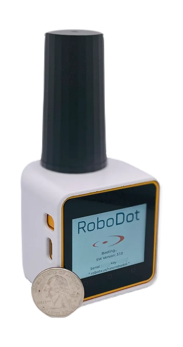
RTK GNSS Receiver
Centimeter-level accuracy for drone inspections, surveying professionals, and mapping companies. Base, rover, logger, and repeater in one rugged, affordable device.
Overview
RoboDot Touch is a state-of-the-art, multi-band RTK GNSS receiver engineered for exceptional precision and versatility. Designed for professionals in surveying, mapping, GIS, accident reconstruction, and navigation, it guarantees centimeter-level accuracy with a robust design that performs across diverse environmental conditions.
Whether in the field or in urban canyons, RoboDot Touch delivers the pinpoint accuracy required for critical positioning and data collection: drone surveying, GIS mapping workflows, and geospatial data capture with precise site mapping and real-time decision-making.
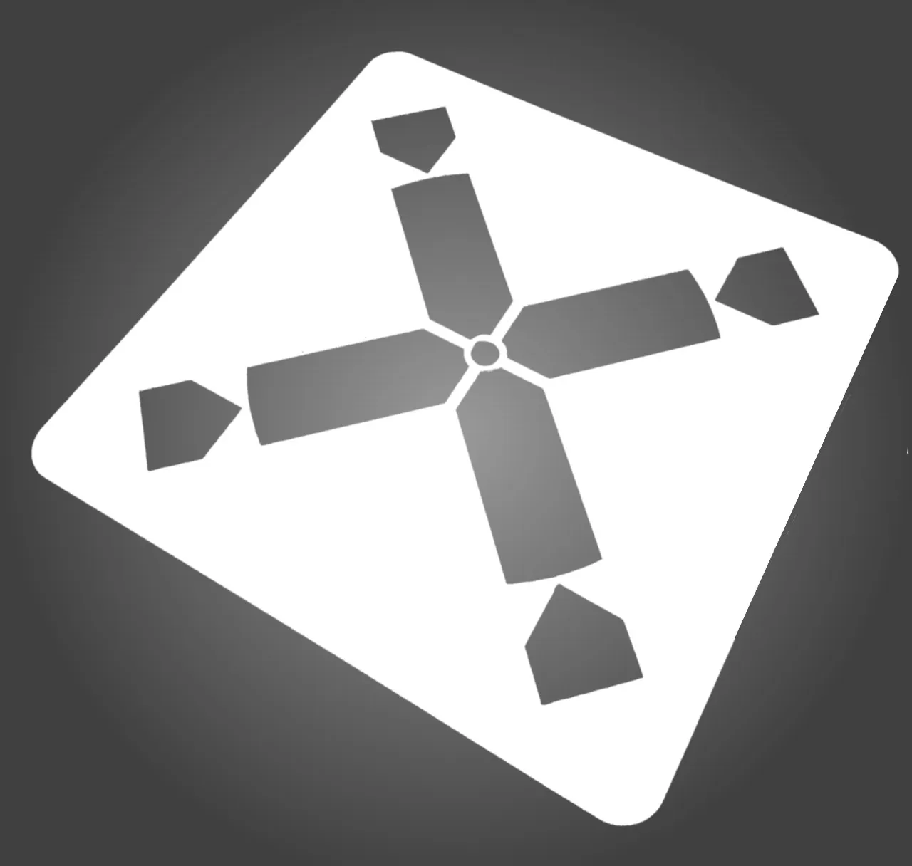
Mark your control points with the RoboDot GCP stencil and process imagery in Metashape Pro for a complete drone mapping workflow.

Capabilities

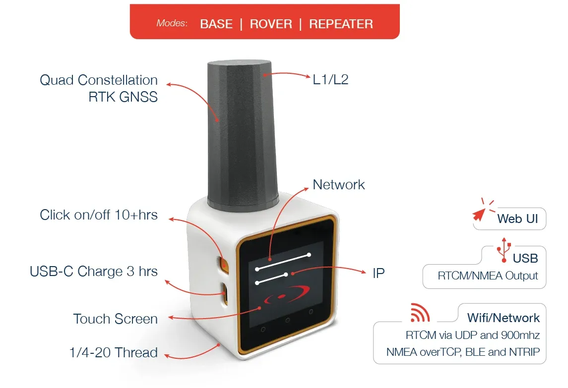
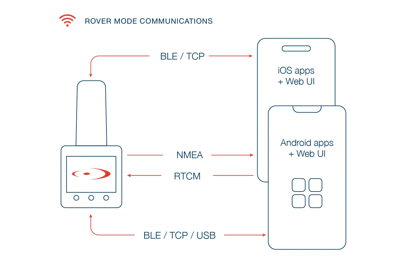
RoboDot Touch functions as an RTK GPS base station, broadcasting corrections via WiFi with NTRIP, UDP, or its built-in 915 MHz LoRa radio. In RTK rover mode, it receives corrections over an NTRIP internet connection or directly via LoRa.
It also acts as a repeater, receiving data from a remote base over LoRa and creating an NTRIP interface for extended coverage. Robust data logging supports PPP workflows with online processors such as OPUS, making it an indispensable tool for surveying, mapping, GIS, accident reconstruction, and machine control.

Designed for rugged field environments, the IP55-rated enclosure shields the receiver from dust and resists water ingress, making it ideal for drone operators, land surveyors, and mobile crews working in unpredictable weather or dusty, remote locations.
Each unit ships with a comprehensive 12-month manufacturer warranty, so you have support when you need it, day after day, mission after mission.

With battery life exceeding 10 hours on a single charge, RoboDot Touch reliably supports a full day of aerial surveys, boundary mapping, or long field missions without interruption.
For extended observation periods, power the receiver continuously from a USB power bank and keep collecting, especially useful with Bluetooth-enabled GNSS apps for surveying, mapping, or drone flights.

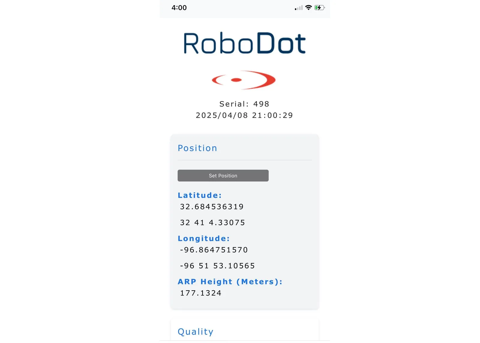
Dual-mode WiFi works as both an access point and a station, integrating seamlessly with any NTRIP-capable rover. Control the receiver from any browser-enabled device: iPhone, Android, PC, Mac, Linux, or a DJI drone controller. No app downloads required.
NMEA output over Bluetooth or USB connects directly to leading mapping apps such as SW Maps, Survey123, QField, Field Maps, and GNSS Master. The touch screen and web UI simplify configuration and give real-time operational feedback in the field.

Enhance RoboDot Touch with our competitively priced RoboNet VRS service, built for surveyors and drone operators who need instant accuracy. In standard rover mode, RoboNet delivers 3-6 cm vertical accuracy with no known point required for base setup; a Pro option enables 1-2 cm corrections for demanding workflows.
Activating RoboNet is effortless: toggle a switch in the device or browser settings, connect, and start working.

RTK rover with NTRIP client or 900 MHz LoRa. RTK base broadcasting over WiFi and 900 MHz. Your own NTRIP caster. Static observation logging for post-processing. Repeater mode for coverage in complex environments. RTCM over UDP. NMEA over TCP, BLE, or USB.
The full functionality of high-end GNSS systems in one compact, affordable receiver, with or without drones.
RoboNet VRS corrections are a separate subscription — compare the 100H GIS and PRO tiers on RoboNet VRS plans and pricing. Already own a receiver? Keep its firmware current with Wingman maintenance.
Specifications
GNSS Constellations
GPS, GLONASS, Galileo, BeiDou
GNSS Frequencies
L1C/A, L2C, L1OF, L2OF, E1B/C, E5b, B1I
Operating Modes
Base Station, Rover, Logger, Repeater
NTRIP
Server (Base) or Client (Rover)
Wireless
2.4 GHz WiFi AP + Station, Bluetooth LE, optional 915 MHz LoRa
Position Output
NMEA via TCP, BLE, or USB
Correction Output
RTCM3 via NTRIP, UDP, LoRa
User Interface
Touch screen + web app (no app install)
Logging Memory
8 GB (raw observations, converted to RINEX for OPUS and PPP)
Run Time
10+ hrs battery, continuous via USB-C
Charging
USB Type-C, 5 V 1 A
Ingress Protection
IP55
Size / Weight
2.2 x 2.2 x 2.3 in + antenna, 340 g (12 oz)
Mounting
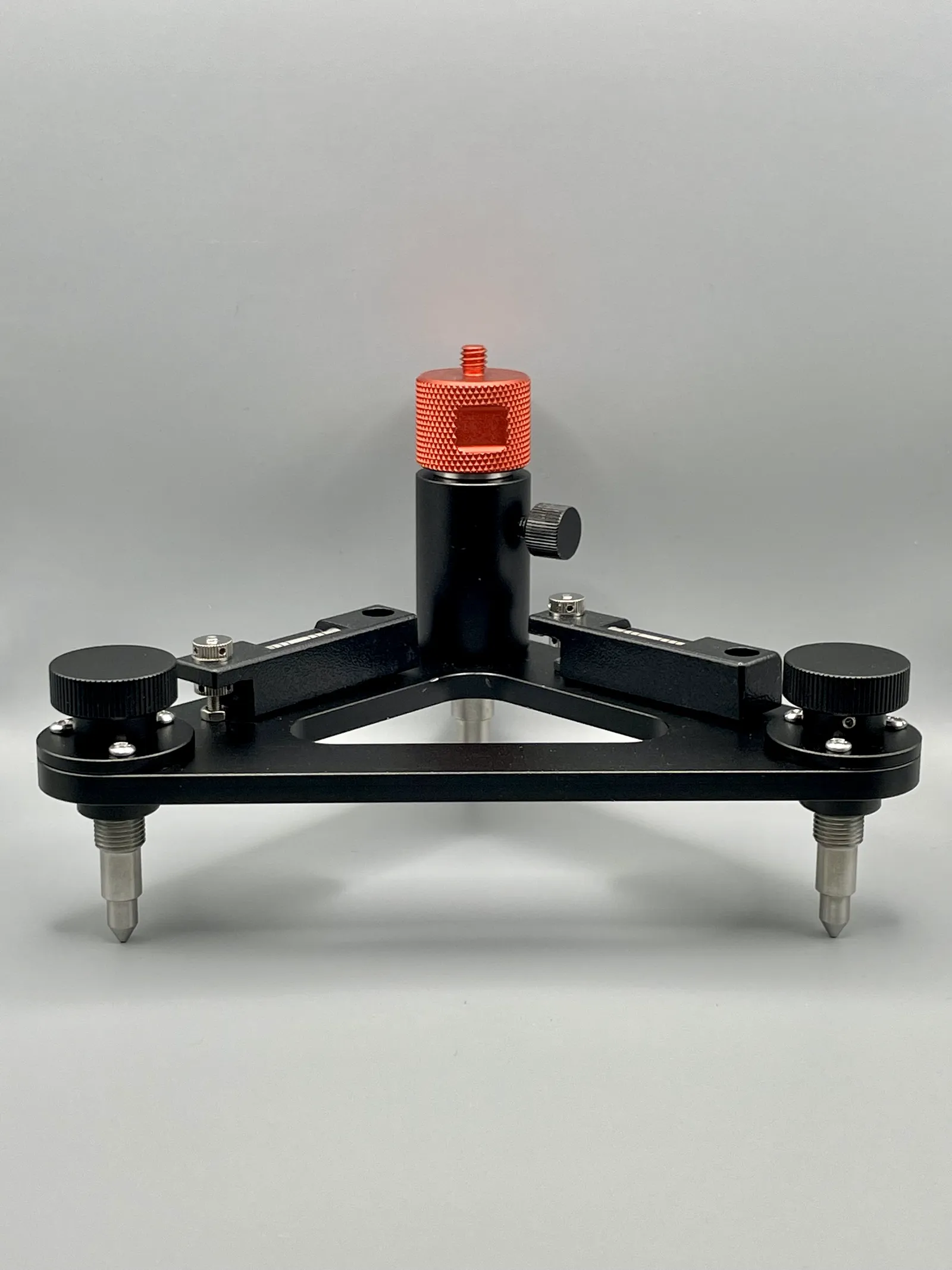
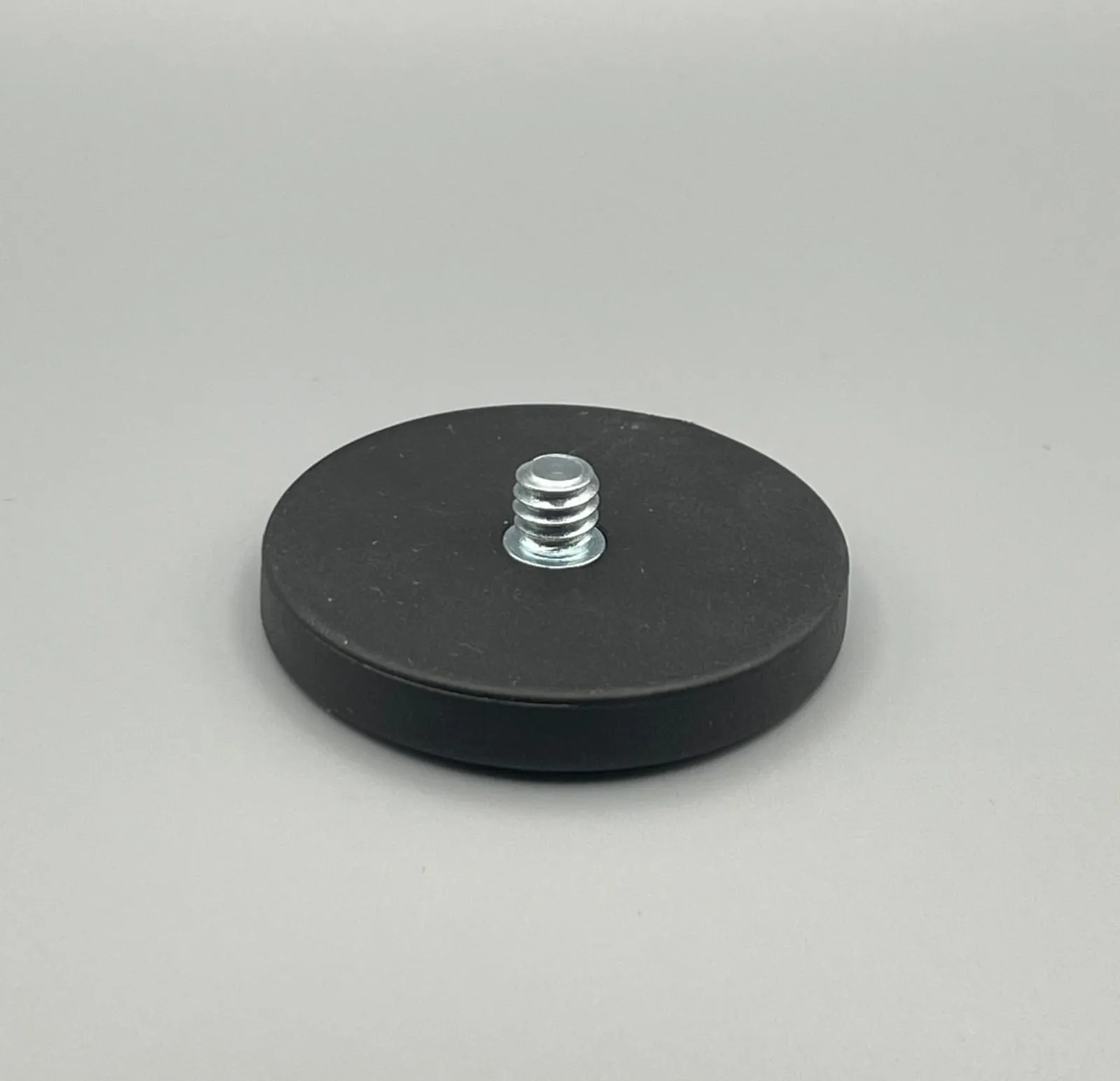
1/4-20 threaded tripod mount
Applications
Base/rover pairs, smart GCPs, and OPUS logging for boundary, topo, and cadastre work.
RTCM corrections over WiFi NTRIP for drone construction mapping and as-built checks.
Survey-grade stockpile measurement, pit boundary mapping, and haul road assessment.
Geo-referenced crop and timber surveys with pinpoint precision for every data point.
Accurate reference coordinates for compliance reporting and habitat change detection.
NTRIP caster connects to DJI controllers over WiFi, reducing or eliminating GCPs.
Data Outputs
RTCM3 via NTRIP, UDP
NMEA over USB, TCP, or BLE
Raw observations, converted to RINEX .obs/.nav on demand
Coordinates file (.csv) from the free web tools on RoboGNSS
Complete Your Kit
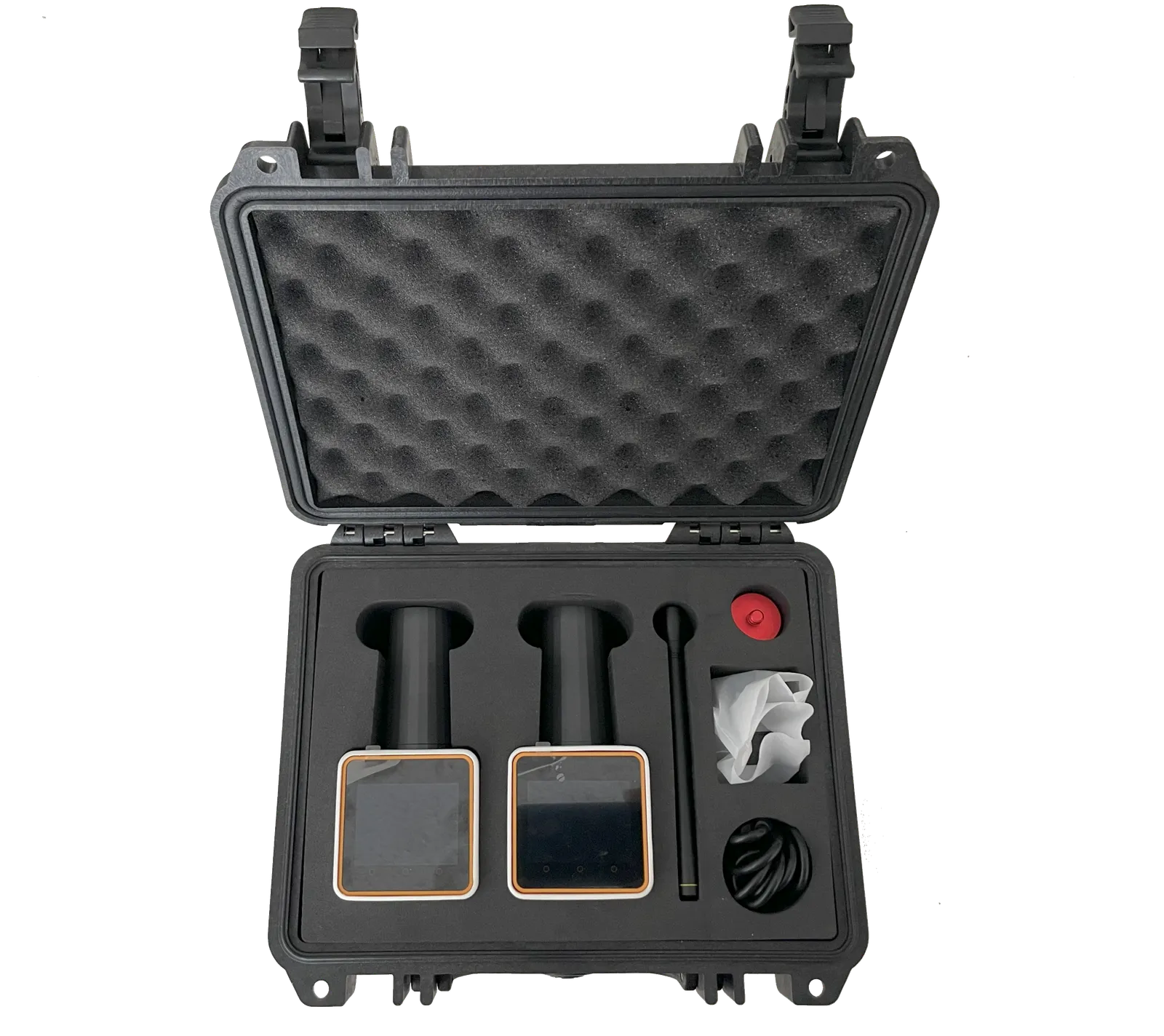
Add the receiver, pick your field accessories, and check out once — one cart, one shipping charge. Everything else lives in the Robota shop.
FAQ
An RTK GPS receiver is a high-precision device that delivers centimeter-level accuracy for positioning, navigation, and mapping. The RoboDot Touch, a cutting-edge RTK receiver, uses Real-Time Kinematic (RTK) technology to process signals from GNSS satellites and correction data, delivered either through a traditional RTK base station or its built-in NTRIP caster. It connects to DJI drone controllers via Wi-Fi, enabling real-time precision without additional hardware. This setup reduces the need for ground control points (GCPs), streamlining aerial workflows. The RoboDot Touch also works seamlessly with other devices like smartphones and tablets, making it a versatile and user-friendly RTK GPS solution for both drone and ground-based applications.
The RoboDot Touch low cost RTK GPS receiver achieves centimeter-level accuracy, typically within 1-2 cm, making it ideal for precision tasks like surveying and drone mapping. By leveraging corrections from an RTK GPS base station or NTRIP network, this RTK receiver ensures consistent, reliable results in real-time. Its multi-band GNSS capabilities enhance performance in challenging environments, delivering superior precision for professionals using RTK GPS for drones or ground-based applications.
Yes, when precision matters, RTK GPS far surpasses standard GPS in accuracy and reliability. While standard GPS offers meter-level positioning, the RoboDot Touch RTK receiver provides centimeter-level precision by using correction data from an RTK GPS base station or NTRIP. This makes it perfect for drone surveying, and GIS applications where accuracy is critical. Additionally, its Bluetooth RTK GPS receiver feature allows seamless integration with mobile devices, offering a smarter, more efficient workflow compared to traditional GPS.
The range of the RoboDot Touch RTK GPS receiver depends on its configuration. When using the built-in 915 MHz LoRa radio, it supports communication up to 1 km line of sight, ideal for connecting to nearby Rover devices. For base station setups, a typical range of 20 km or less is recommended for best results, with a maximum practical limit of around 50 km. When using internet-based NTRIP corrections, the range is virtually unlimited as long as a stable connection exists. As a Bluetooth RTK GPS receiver, it also connects effortlessly to nearby devices, making it a versatile RTK GPS module for both drone and ground-based applications.
RTK GPS for drones enhances positional accuracy to the centimeter level, enabling precise mapping, surveying, and navigation. The RoboDot Touch RTK receiver provides real-time corrections via its built-in NTRIP caster and connects to DJI drone controllers over Wi-Fi, eliminating the need for external hardware or complex setup. This allows drones to capture accurately geotagged images in real time, significantly reducing or even eliminating the need for ground control points (GCPs). By replacing GCPs, RTK streamlines workflows, cuts down field labor, and accelerates project turnaround while still delivering high-precision data for aerial photogrammetry and GIS tasks.
RTK drones, equipped with an RTK GPS module, achieve centimeter-level accuracy by using real-time corrections from an RTK GPS base station or its built-in NTRIP caster over Wi-Fi. In contrast, non-RTK drones rely on standard GPS, which provides only meter-level accuracy, making them less suitable for professional surveying or mapping. The RoboDot Touch connects to DJI drone controllers via Wi-Fi, while Bluetooth functionality is used for connecting to mobile devices like smartphones or tablets. This configuration ensures seamless integration, superior accuracy, and efficient workflows for aerial data collection.
Yes, an RTK drone can operate without a dedicated RTK GPS base station, but the positional data it captures will not be accurate enough for precision mapping or surveying. To achieve centimeter-level accuracy, the drone must receive real-time corrections, either from a local RTK base station or through NTRIP corrections over the internet. The RoboDot Touch supports NTRIP client mode and connects to DJI controllers via Wi-Fi, enabling accurate data capture without a physical base station, provided a stable internet connection is available. In remote areas, using the RoboDot Touch as a local base station ensures consistent high-accuracy results. Bluetooth functionality is reserved for mobile device integration and setup.
While not always required, an RTK GPS base station significantly enhances the performance of an RTK GPS receiver. The RoboDot Touch can function as both a base station and rover, broadcasting corrections via Wi-Fi, LoRa, or NTRIP for real-time centimeter-level accuracy. In areas with internet access, it can connect to NTRIP networks, eliminating the need for a physical base station. Bluetooth is used specifically for setup and configuration via mobile devices, while Wi-Fi handles communication with DJI drones and other equipment. This makes the RoboDot Touch a flexible and powerful RTK GPS module for both drone and ground-based applications.
Building your own RTK GPS base station is straightforward with the RoboDot Touch. Here’s how:
1. Position the RoboDot Touch: Place it in an open area with a clear sky view, ideally on a tripod for stability.
2. Power On: Use its 10+ hour battery or connect to a power source.
3. Configure via Web UI: Access the user-friendly interface via WiFi on any browser-enabled device (e.g., smartphone or DJI controller) to set up the RTK GPS base station.
4. Broadcast Corrections: Choose WiFi (NTRIP/UDP), 915 MHz LoRa radio, or USB to send RTCM corrections to rovers or drones.
5. Log Data: Enable static observation logging for post-processing with tools like OPUS.
The RoboDot Touch’s low cost RTK GPS receiver capabilities make it an all-in-one solution for precision surveying.
RTK GPS relies on clear satellite signals, so it does not function effectively indoors or in areas with significant obstructions like buildings or dense tree cover. The RoboDot Touch RTK receiver excels in open environments, delivering centimeter-level accuracy when paired with an RTK GPS base station or NTRIP corrections. While Bluetooth is used for initial setup and configuration via mobile devices, reliable GNSS signal availability is essential for accurate positioning, making outdoor use ideal for applications like surveying and mapping.
An RTK GPS module is a compact device that enables Real-Time Kinematic positioning for centimeter-level accuracy. The RoboDot Touch serves as a versatile RTK GPS module, functioning as both a base station and rover. It supports WiFi, LoRa, and Bluetooth connectivity, making it ideal for surveying, and GIS applications. Its touch-screen interface and robust design simplify setup and operation, delivering precision for professional workflows.
Single-band GNSS receivers use one frequency band (e.g., GPS L1), offering basic accuracy but limited performance in challenging environments. In contrast, the RoboDot Touch RTK GPS module leverages multiple frequency bands (e.g., GPS L1/L2) and supports multiple satellite constellations like GPS, GLONASS, and BeiDou. This expanded satellite visibility greatly improves positioning accuracy and reliability, especially in obstructed or urban areas, making it ideal for high-precision applications like drone surveying and geospatial mapping.
Both RTK GPS and Total Station offer high precision, but their accuracy depends on the application. The RoboDot Touch RTK receiver achieves 1–2 cm accuracy in real time, making it ideal for large-scale surveying and dynamic environments. Total Stations, which rely on laser measurements, can reach sub-centimeter accuracy but require line-of-sight and are slower to deploy over wide areas. With both Wi-Fi and Bluetooth interfaces, the RoboDot Touch offers fast, flexible connectivity and excels in most geospatial tasks where efficiency and portability are essential.
If you're looking for a budget-friendly RTK solution, the RoboDot Touch is a great choice. It’s a compact, field-ready low cost RTK GPS module that offers centimeter-level accuracy without the price tag of traditional survey equipment. Designed for seamless integration with drones, tractors, and handheld devices, it’s ideal for those who need precision on a budget.
When evaluating an affordable RTK GNSS receiver, look for multi-band GNSS support, hot-swappable power options, and compatibility with standard NTRIP correction networks. The RoboDot Touch stands out as a low cost RTK GPS receiver that combines robust performance with portability, making it perfect for applications in agriculture, construction, and UAV mapping.
Yes, many low cost RTK GPS receivers today, including the RoboDot Touch, support multiple global navigation satellite systems such as GPS, GLONASS, Galileo, and BeiDou. This multi-constellation compatibility enhances accuracy and reliability, even in challenging environments.
Order the RoboDot Touch today, or send us your workflow and we will confirm the right configuration, radios, and accessories for the job.