
Industry Solutions

Drone Survey in Mining and Aggregates Mapping Solutions

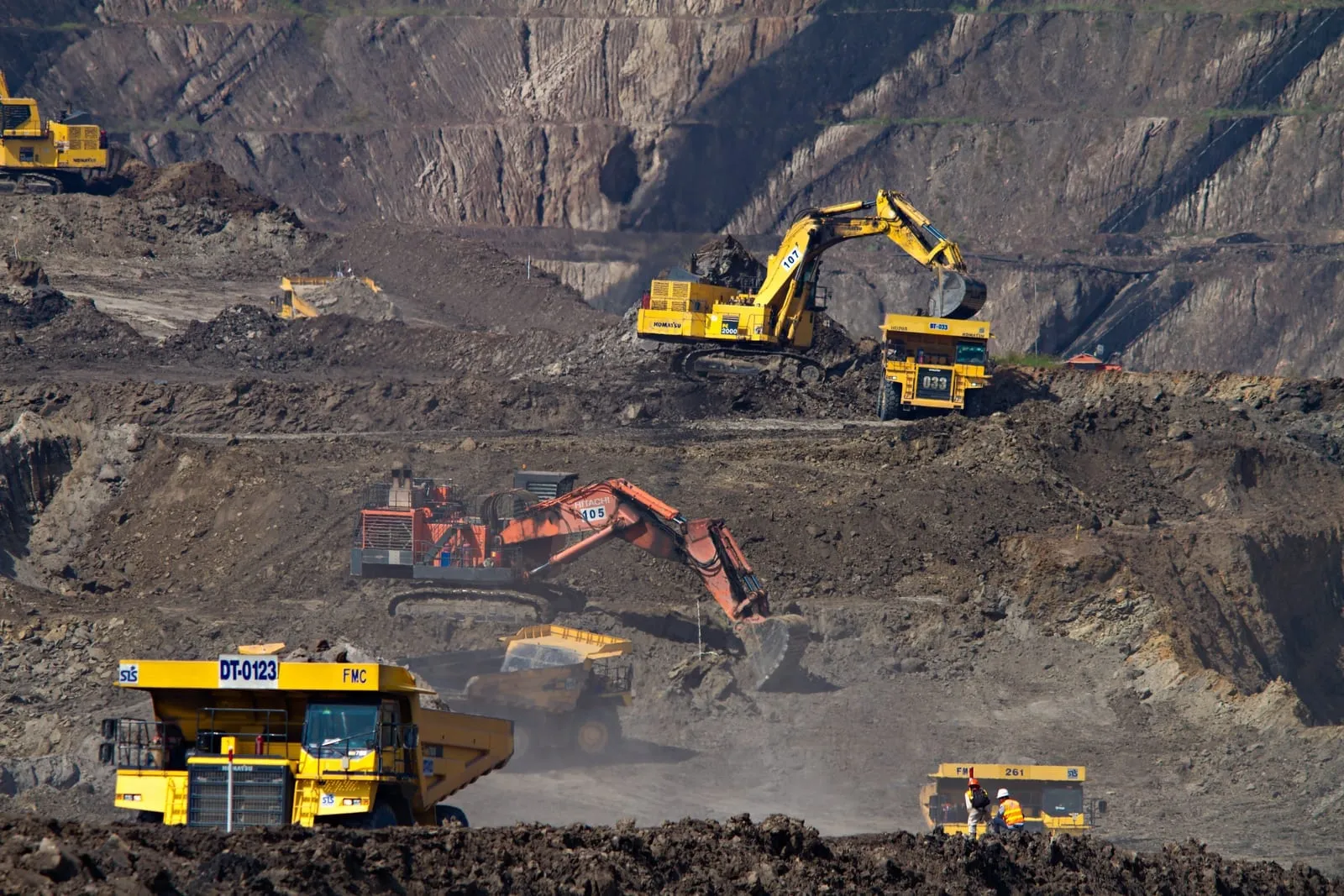
Mining operations benefit from photogrammetry drones by providing data collection over large and frequently changing areas in record time compared to traditional methods all while keeping surveyors out of harm’s way. At Robota, we provide simple yet technologically advanced tools and equipment for drone photogrammetry for mining and aggregates.

Our aggregates mapping tools integrate seamlessly with mine planning software, enabling accurate terrain modeling, volumetric analysis, and compliance documentation. These solutions allow engineers to react quickly to site changes and maintain optimal productivity.

Why it works

Our drone survey equipment with collision-avoidance uav solutions maps stockpiles with 1% accuracy. Thermal drone photography equipment optimizes haul roads and safety, enhancing mining productivity with detailed aggregates mapping.

Applications

What teams accomplish in the field

Water Management with Mining Surveying Tools

The 3D outputs produced by drone data, including point clouds and digital surface models are extremely powerful in understanding water flows during mining operations. In order to keep up mine productivity, engineers can use up to date topographical data in order to design adequate drainage basins.

By using drone survey in mining workflows, engineers gain accurate hydrological insights that help optimize drainage basin design and prevent costly water-related downtime.

Data-Driven Reporting with Drone Survey in Mining

Since UAVs can efficiently survey large mine sites, it is practical to obtain large surveys for multiple uses. Besides applying topographical data and orthophotos to mine planning, the same data can be utilized for reporting, whether for accounting or for regulatory applications.

Drone-captured topographical and volumetric data can be directly applied to financial reporting, ensuring accurate stockpile valuations and compliance with industry regulations. Our drone mapping for aggregates provides consistent, auditable results.

Stockpile Management with Aggregates Mapping Tools

One of the areas where drone imagery excels is providing up to date and accurate information on stockpiles which is critical to surface mine engineers. Knowing overburden and product levels allows for both reclamation planning and business planning.

Our UAV-based aggregates mapping tools provide detailed stockpile measurements, helping managers optimize supply chain decisions and forecast production needs accurately.

Drone Mapping for Aggregates and Mining Efficiency

Professional surveying drones provide accurate topographical data to mine engineers which improves productivity through stockpile management and mine planning. Surveyors no longer need to expose themselves to dangerous slopes and machinery in order to get a few data points. The mining terrain is constantly changing but this is not a challenge for mining drones.

Leveraging mining surveying tools ensures precise volume calculations, slope monitoring, and progress tracking. This high-resolution data from aggregates mapping tools supports better decision-making for resource extraction and safety management.

Recommended Tools

Robota solutions for this industry

RoboDot Touch RTK GNSS

Survey-grade base, rover, and smart ground control point for centimeter-accurate positioning in any workflow.

Metashape Pro

Professional photogrammetry software that turns drone imagery into orthomosaics, point clouds, and 3D terrain models.

Dot3D

Real-time 3D scanning software for capturing as-built conditions with handheld devices and depth sensors.

FAQ

Common questions

What drones are used in mining?

Many mining operations use fixed-wing models like the Eclipse 2.0, paired with GNSS systems like RoboDot, for long-range coverage and precise data collection. This type of drone for aggregates is engineered to handle rugged terrain, expansive quarries, and extended missions with minimal downtime.

How do drones reduce operational costs in mining?

A drone for mining can cut costs by minimizing field crew requirements, reducing survey time, and eliminating the need for expensive ground equipment. The faster data collection also shortens planning cycles, saving both time and budget.

How do drones help with inventory management in mining?

Using a drone survey in mining, operators can automate stockpile assessments, calculate material volumes faster, and ensure accurate reporting. This reduces discrepancies, improves material forecasting, and streamlines overall inventory control.

What types of data do mining drones collect?

A drone for aggregates collects orthomosaics, digital terrain models, volumetric measurements, and high-res imagery. These datasets are essential for inventory tracking, site analysis, and ensuring consistent material flow in aggregate operations.

How accurate are drone-based mining surveys?

With technologies like RTK positioning and high-resolution cameras, a drone survey in mining can achieve vertical accuracy within a few centimeters. This precision is critical for cut-and-fill calculations, compliance audits, and infrastructure planning.

How do drones improve safety in mining operations?

A drone for mining reduces the need for workers to enter dangerous areas like high walls, unstable slopes, or active haul roads. By conducting aerial inspections, these drones allow for safe remote assessments while keeping teams out of harm’s way.

What is the key advantage of using drones for surveying in mining?

The biggest advantage of a drone survey in mining is the ability to obtain high-accuracy geospatial data in less time and with lower risk to personnel. Drones allow surveyors to access hazardous or hard-to-reach areas while maintaining consistent data quality.

What are the benefits of using drones for mine surveying?

Using a drone for aggregates provides rapid data collection over large quarry sites, reduces manual labor, and enhances stockpile volumetrics. These benefits translate to better resource planning, fewer site visits, and improved environmental monitoring.

How are drones used in the mining industry?

Drone for mining operations are primarily used to capture high-resolution aerial imagery, create accurate 3D maps, and monitor active sites. These UAVs streamline surveying, inspection, and progress tracking across mines, improving operational efficiency and decision-making.

Ready to put precision to work?

Contact Us for Drone Survey in Mining and Aggregates Mapping Solutions.

Talk to Robota