
Industry Solutions

Forestry and Agricultural Drone Photogrammetry Solutions

At Robota, our solutions are designed to serve a variety of needs, from drone crop surveys that monitor vegetation health to forestry mapping software that supports sustainable forest management and timber assessments. By integrating advanced sensors and precise GNSS technology, our equipment ensures highly reliable results for both wildlife and agricultural drone survey projects. We provide forestry and agricultural drone survey equipment that helps improve the way you operate, making your processes more efficient and reliable. Our agronomy and forestry measuring equipment uses innovative technology that raises industry standards for accurate and effective data gathering.

Fixed-wing drones are utilized as agronomy and forestry measurement tools in agriculture to survey large plantations to check inventory and ensure the best crop health, achieving the highest yields. These drones can also be deployed for drone farm surveying and drone wildlife survey projects, enabling users to collect accurate environmental and agricultural data over vast areas in minimal time.

Why it works

Our commercial drone solutions use multispectral drone survey equipment for crop health and forest inventory. Drone products map timber volumes and NDVI data, optimizing farming and resource management with real-time analytics for sustainable practices.

Applications

What teams accomplish in the field

Agricultural Drone Surveys for Precision Farming

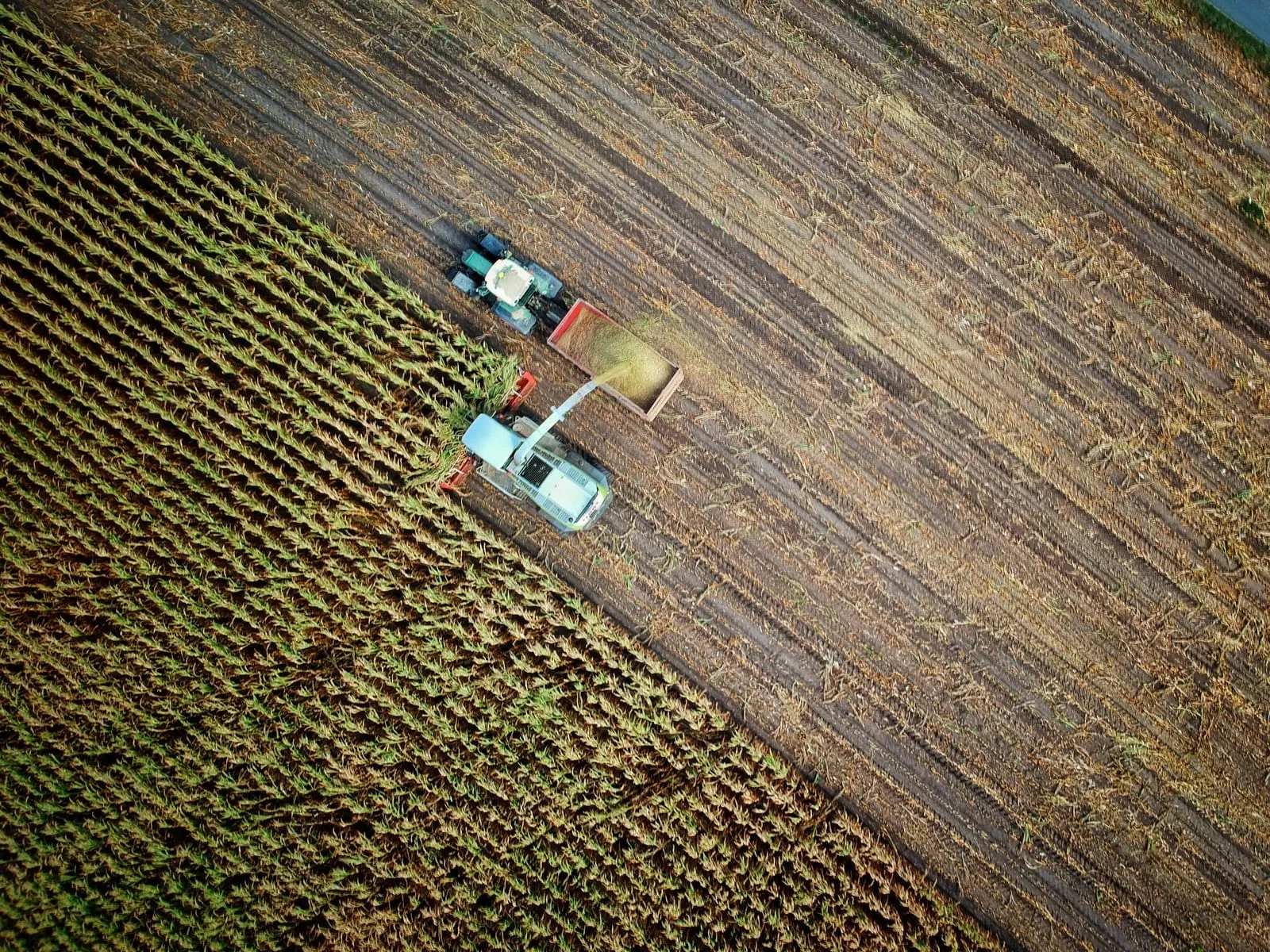
With the world population consuming more agricultural products for food, fuel, and textiles, precision agriculture has never been more critical. Fixed wing drones are the perfect tool to survey large crop acreage for pests, deficiencies, and damages. Using multi-spectral drone imagery, multiple layers of vegetation indicies can be generated in order to ensure that crop yields are at a maximum. When integrated with agricultural drone survey techniques, our systems help farmers and agronomists detect irrigation issues, nutrient deficiencies, and pest activity earlier. This proactive approach reduces waste, increases yields, and supports sustainable farming practices.

Forestry Mapping and Inventory with Drone Technology

Capturing inventory data in forestry applications can certainly be done with UAVs with large area capability. With drone data, stockholders can more accurately know the amount of timber available by using point cloud data to measure trees per acre as well as the volume of trees in an area. By combining UAV capabilities with forestry mapping software, forestry managers can visualize changes over time, plan sustainable harvesting schedules, and even track wildlife habitats without disturbing the environment.

Recommended Tools

Robota solutions for this industry

RoboDot Touch RTK GNSS

Survey-grade base, rover, and smart ground control point for centimeter-accurate positioning in any workflow.

Metashape Pro

Professional photogrammetry software that turns drone imagery into orthomosaics, point clouds, and 3D terrain models.

Dot3D

Real-time 3D scanning software for capturing as-built conditions with handheld devices and depth sensors.

Ready to put precision to work?

To learn more about how our forestry mapping software, drones, and agricultural drone survey equipment can transform your operations, contact us today.

Talk to Robota